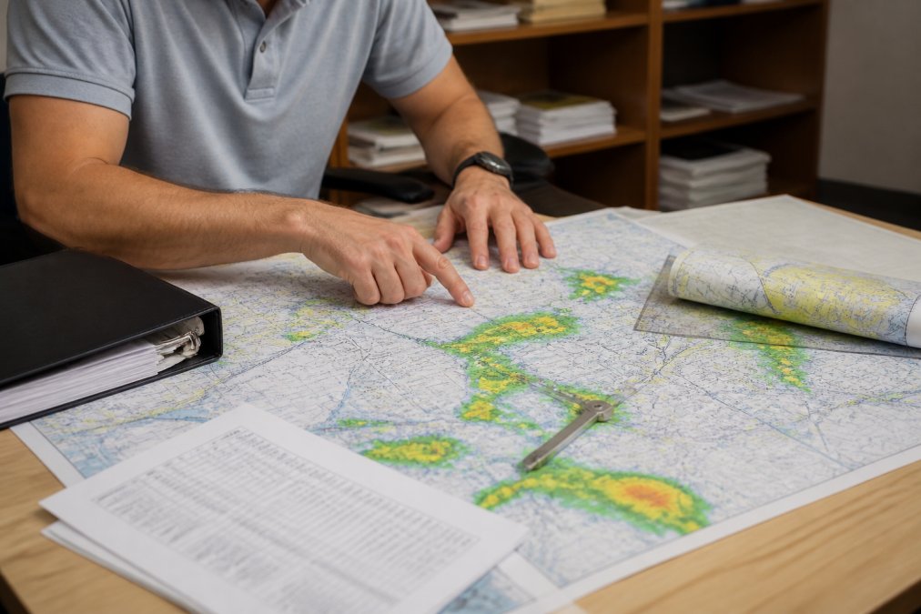
 how-to
How to Study Aircraft Dispatcher Meteorology
Table of Contents
- Step 1: Build Your Aviation Weather Theory Foundation for Dispatchers
- Step 2: Learn How to Read METAR and TAF Reports
- Step 3: Interpret Weather Charts, Satellite Imagery, and Synoptic Data
- Step 4: Apply Dispatcher Meteorology to Flight Planning and Dispatch Release
- Step 5: Practice ADX Exam Meteorology Questions Under Timed Conditions
- Step 6: Use Digital Tools, FAA Resources, and Cognitive Study Strategies
- Common Mistakes When Studying Aircraft Dispatcher Meteorology
- Conclusion
- Frequently Asked Questions
Last Updated: September 26, 2026
Step 1: Build Your Aviation Weather Theory Foundation for Dispatchers
Learning how to study for aircraft dispatcher meteorology starts with theory, not memorization. You cannot read a METAR well until you understand what the numbers describe.
Atmospheric Stability, Airmass, and Pressure Systems
Atmospheric stability is the atmosphere's resistance to vertical motion. Stable air resists rising. Unstable air encourages it.
Watch these building blocks:
- Airmass - a large body of air with similar temperature and moisture
- Pressure systems - highs bring sinking air and clear skies; lows bring rising air and storms
- Relative humidity - how close the air is to saturation
- Water vapor - the fuel for every cloud and storm
Fronts, Convective Activity, and Icing Conditions
Fronts are boundaries between airmasses. Cold fronts move fast and produce narrow, violent storm lines. Warm fronts move slowly and bring wide, steady rain.
Step 2: Learn How to Read METAR and TAF Reports
Learning how to read METAR and TAF reports is the highest-value skill on this list. These two products appear on almost every dispatcher exam and every shift.
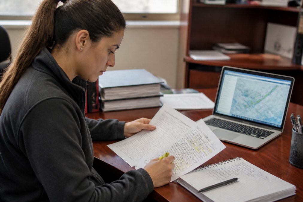
Work through each group left to right:
- Station identifier and observation time
- Wind direction, speed, and gusts
- Visibility and present weather
- Sky condition, ceiling, and cloud layers
- Temperature and dew point
- Altimeter setting
- Remarks and recent weather
Step 3: Interpret Weather Charts, Satellite Imagery, and Synoptic Data
Synoptic charts show weather across a whole region at once. Satellite imagery shows where clouds actually sit right now.
Build a daily routine:
- Pull the current surface analysis chart
- Compare it with the previous chart to see movement
- Check satellite imagery for cloud features
- Note the trend: building, steady, or weakening
Step 4: Apply Dispatcher Meteorology to Flight Planning and Dispatch Release
Weather knowledge only counts when it changes a decision. That is the whole point of dispatcher meteorology. Every dispatch release pairs weather with aircraft limits and route options, and your job is to decide whether the flight can go safely.
The Dispatch Weather Drill
Pick one real city pair and one real departure time. Then work these steps in order, writing your answer before you look anything up:
- Pull the current METAR and TAF for departure, destination, and two alternates. Decode each one by hand, left to right.
- Read the surface analysis chart. Identify the nearest high, low, and front. Note which direction each is moving.
- Check the infrared satellite loop. Are cloud tops warming (weakening) or cooling (intensifying) along the route?
- Scan for hazards. Look for convective SIGMETs, AIRMETs for turbulence and icing, and any low-level wind shear advisories at the fields you chose.
- Check NOTAMs for the destination and alternates, closed runways, out-of-service approaches, and unlit navaids all change the weather picture.
- Write the release decision. State whether you would sign, what alternate you would file, and one sentence on why.
What You Are Actually Deciding
A dispatcher's weather call comes down to a handful of concrete thresholds:
- Ceiling and visibility at departure, destination, and alternate, compare against the approach minimums for the expected runway, not the airport's best runway.
- Wind shear and gusts at each airport, a gust spread near the crosswind limit changes your runway choice.
- Turbulence and icing along the route, icing matters most when the freezing level sits inside a cloud layer at your cruise altitude.
- Convective activity near the planned path, a line of storms means a reroute, a delay, or a no-go.
- NOTAMs that affect the field or approaches.
The Regulatory Frame
The FAA requires this judgment under Part 65 and the Aeronautical Information Manual. A dispatcher shares responsibility for the flight with the captain, so weather calls carry real weight. The practical exam will ask you to defend a release out loud, and the examiner will push on the weather reasoning specifically. That is why the drill above matters, you are not memorizing weather, you are rehearsing a decision.
Step 5: Practice ADX Exam Meteorology Questions Under Timed Conditions
ADX exam meteorology practice should feel harder than the real test. Timed drills build the speed and calm you need on exam day.
Set up your practice this way:
- Answer 25 to 50 questions in one sitting
- Use a timer for every set
- Review every wrong answer and trace the cause
- Re-do missed questions a week later
Step 6: Use Digital Tools, FAA Resources, and Cognitive Study Strategies
Digital tool proficiency separates fast learners from slow ones. Working dispatchers do not read raw text products all day, they read them inside a briefing platform that layers radar, satellite, and forecast graphics on top of the coded reports. Learning the tools while you learn the theory is the fastest way to make both stick.
The Tools Working Dispatchers Actually Use
You do not need a commercial subscription to build the habit. Start with the free public products, then layer in the professional platforms when you can:
- Aviation Weather Center (aviationweather.gov), the source for METARs, TAFs, PIREPs, SIGMETs, AIRMETs, and the graphical forecast products. Learn the site's chart and loop tools, not just the text pages.
- National Weather Service (weather.gov), surface analysis charts, satellite imagery, and the forecast discussions that explain why a forecast is uncertain.
- FAA resources, the Aeronautical Information Manual for regulatory context, plus advisory circulars and [FAA Part 65(/best-faa-approved-dispatcher-training-2026) dispatcher guidance | faa.gov] for certification rules.
- Commercial briefing platforms, ForeFlight, WSI, and similar tools are what you will see in a dispatch office. If you can get a student or trial subscription, practice building a full briefing package in one, end to end. The goal is not to learn one vendor's buttons; it is to learn the workflow of assembling a picture from layered products.
Cognitive Strategies That Actually Work
Spaced repetition. Review METAR decoding on day one, day three, and day seven. Use flashcards or a spaced-repetition app for the fixed-format items, station identifiers, weather codes, cloud abbreviations. The format is finite, so it rewards repetition.
A Weekly Study Structure
A pattern that works for most students:
- Daily (20-30 min): one live METAR/TAF decode plus one surface analysis chart read.
- Three times a week (45 min): a full dispatch weather drill on a real city pair, written decision included.
- Weekly (60 min): timed practice questions, then a review of every miss with the cause traced.
- Weekly (30 min): spaced-repetition review of codes, symbols, and definitions.
At QNH LLC, our 200 classroom hours build this mix on purpose. Small classes let instructors catch gaps early, and the Socratic format forces you to explain your reasoning rather than recognize an answer.
Common Mistakes When Studying Aircraft Dispatcher Meteorology
Most study failures trace back to a handful of habits. Fix these and your progress speeds up.
| Mistake | Why It Hurts | Fix |
|---|---|---|
| Memorizing without decoding | Symbols mean nothing in context | Practice on live METARs daily |
| Skipping theory | Chart reading stalls later | Learn stability and fronts first |
| Passive re-reading | Feels productive, builds little | Use active recall and quizzes |
| Cramming before the exam | Short-term memory fades fast | Space reviews over weeks |
| Ignoring timed practice | Runs out of time on exam day | Drill under a clock weekly |
| Studying alone | No one corrects bad habits | Join a small class with feedback |
Conclusion
The hardest part of dispatcher meteorology is not the theory. It is building the judgment to defend a release when the weather turns.
Frequently Asked Questions
What are the most important meteorology topics for the ADX exam?
Focus your study on METAR and TAF decoding, synoptic charts, pressure systems, fronts, atmospheric stability, convective activity, icing conditions, turbulence, and wind shear. Ceiling and visibility interpretation matters because it drives dispatch release decisions. The FAA knowledge test pulls heavily from weather theory and report interpretation, so build fluency in reading actual reports rather than memorizing isolated definitions. Pair theory with hands-on decoding of real aviation weather reports to reinforce retention.
How much of the aircraft dispatcher exam is focused on weather?
Meteorology is one of the largest knowledge domains on the ADX written exam and reappears throughout the oral and practical portions. You will decode METARs and TAFs, interpret weather charts and satellite imagery, and explain how conditions affect flight planning and operational safety. Because weather interacts with nearly every dispatch decision, weak meteorology knowledge shows up across multiple exam areas, not just the weather-specific questions.
How do I interpret aviation weather reports for dispatching?
Start with the METAR for current conditions at departure, destination, and alternate airports. Check ceiling and visibility against approach minimums, then read the TAF for forecast trends across your arrival window. Layer in synoptic charts, satellite imagery, and NOTAMs to understand broader systems. The goal is not just decoding symbols but judging whether conditions support a safe dispatch release. Practice by comparing forecasts against actual conditions after each study session.
What is the best way to memorize aviation weather codes?
Use spaced repetition and active recall instead of re-reading. Write METARs and TAFs by hand from memory, then check against the source. Group codes by function, such as sky condition, visibility, and wind, rather than alphabetically. Study with a partner who quizzes you aloud, which mirrors the oral exam format. Ten minutes of daily decoding beats a three-hour cram session because weather codes stick through repeated retrieval, not passive review.